


AERIAL MAPPING FOR ARCHITECTURAL, URBAN PLANNING OR GEOLOGICAL PURPOSES IN LIGURIA
AERIAL INSPECTIONS AND MAPPING
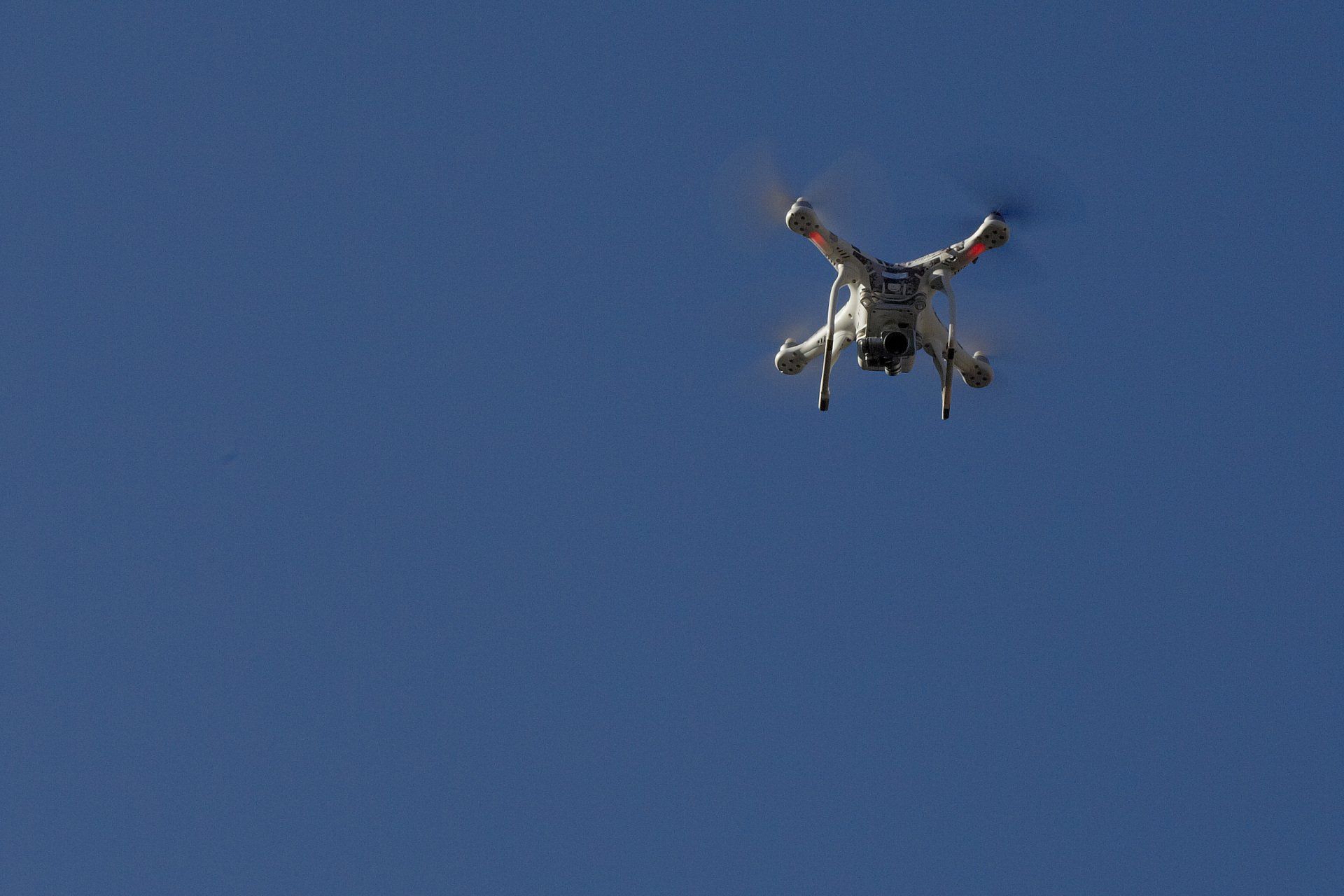
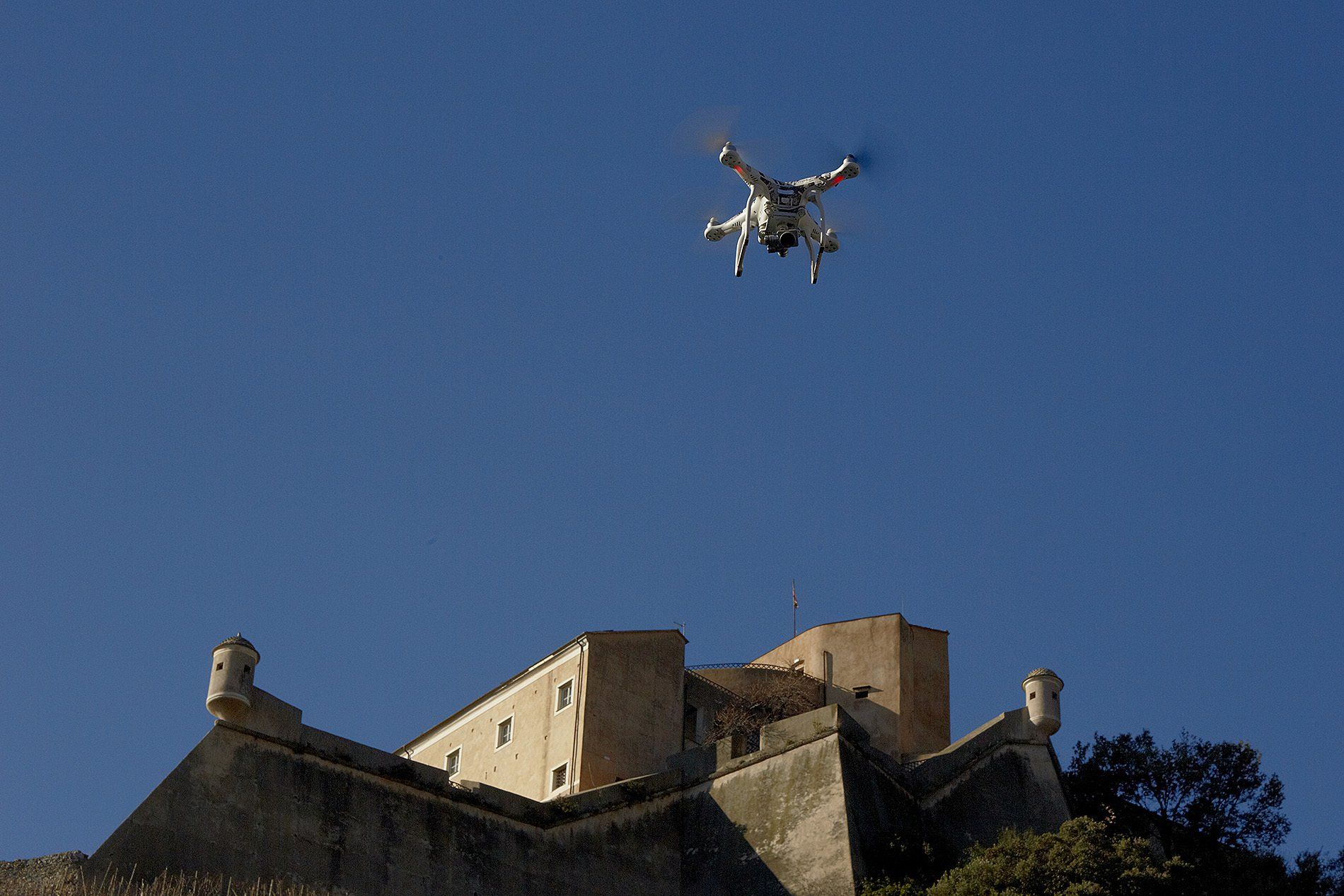
We carry out mapping with the help of fully programmable drones that, once launched into the air, will reach the area planned for aerial mapping. They will take a series of photographs in flight, the processing of which will produce, with a high degree of accuracy, a series of 2D (two-dimensional) or 3D (three-dimensional) maps that will be useful for multiple architectural, urban planning or geological purposes.

SERVICE
- aerial mapping for land study
- geological survey
- urban planning study
- environmental engineering survey
- architectural and archaeological survey
Would you like to receive more information or a quote for aerial mapping?